highest quality at a competitive price
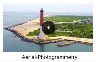
Aerial Photogrammetry (also known as aerial photography) is a series of photos taken from an aircraft, drone, or other flying vehicle. Landmark Surveys is one of the most experienced and skilled aerial photogrammetry and aerial mapping companies in the state of New Jersey.
We provide, but are not limited to:
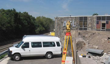
Analytical Aero triangulation is defined as "A process of interior and absolute orientation of aerial photographs obtained by computational methods from plate coordinates and mathematical analysis of the photogrammetric system." What this means is setting up a relationship between the photographs taken and known control points on the ground. This is the first step in setting up mapping projects.
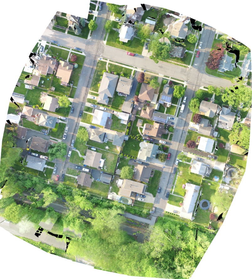
Stereo Compilation is used with CAD based digital mapping. Allowing you to compile the information from the photos, view them in a 3D rendering program, and view the most accurate representation of the important areas in the project.
Aerial Cartography is when we add extra details to the project, as well as running our Quality Control to remove any possible errors or missing information. Our experts combine all the data, and check to make sure the final product is as accurate as possible.
Union Affiliated
Accepts Major Credit Cards