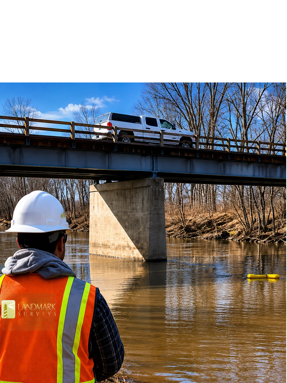
Hydrographic surveys are completed for channels, rivers, reservoirs, lakes, and ocean bays to create topographic images of underwater surfaces. They are performed to map shorelines and bed surfaces beneath waterways, as well as to establish water depth.
Depth soundings are integrated with GPS positions to generate a digital terrain model (DTM) and contours of the bed and shore. Deliverables include DTM surfaces, thalweg profiles, cross-sections, and water volumes.
From shoreline mapping to depth modeling, using reliable GPS-integrated measurements.
12' boat with 9hp and 24' boat with 200hp, equipped with high-frequency depth sounders.
One call is all it takes. Free consultation available.