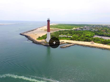
Aerial Photogrammetry is a series of photos taken from an aircraft, drone, or other flying vehicle. Landmark Surveys is one of the most experienced and skilled aerial photogrammetry and aerial mapping companies in the state of New Jersey.
Used with CAD based digital mapping. Allows compiling information from photos in a 3D rendering program for the most accurate representation of important areas.
Adding extra details to the project while running Quality Control to remove errors — ensuring the final product is as accurate as possible.
One call is all it takes. Free consultation available.


