Construction survey
New Jersey's Leading Land Surveyor

PrecisionMappingExcellence Since 1985

Advanced land surveying services for engineering, construction, planning, and infrastructure projects across New Jersey โ€” equipped with the most advanced field instruments and technology.

40+
Years Experience
500+
Projects Done
100%
Union Affiliated
NJ Licensed
NJ #13VH
Licensed Surveyor
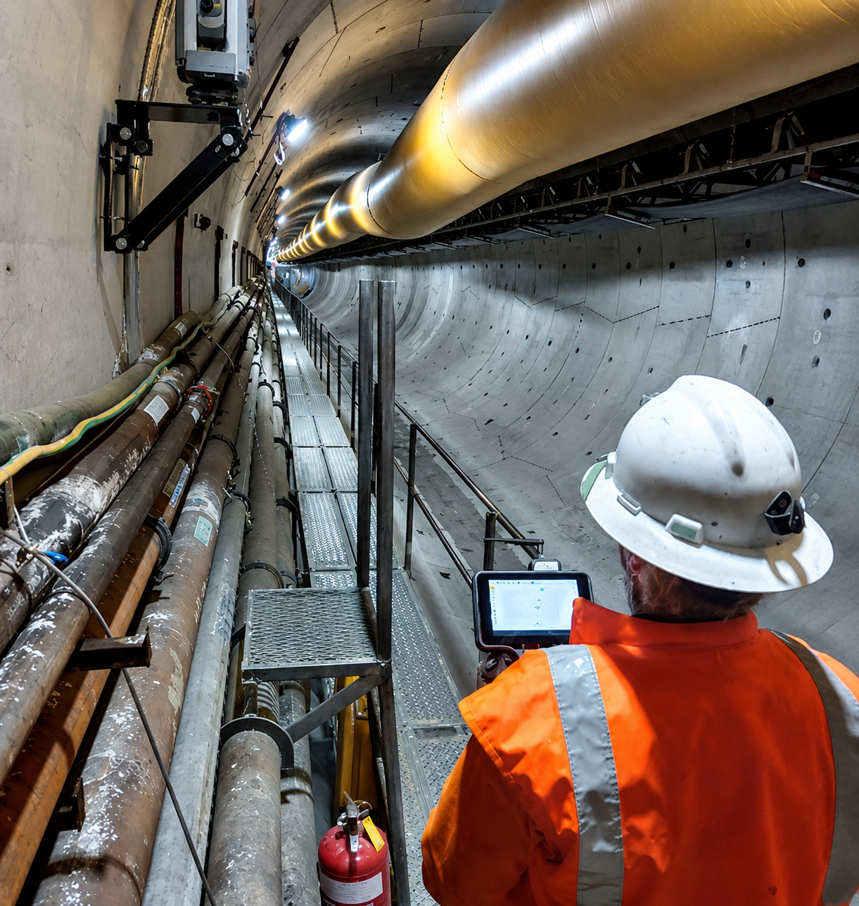
Survey crew Instrument
Scroll to Explore
Utility MappingUAV / Drone SurveyingAerial PhotogrammetryLand SurveysEnvironmental SurveysConstruction LayoutFlood Elevation CertificatesHydrographic SurveyingAutomated Monitoring Utility MappingUAV / Drone SurveyingAerial PhotogrammetryLand SurveysEnvironmental SurveysConstruction LayoutFlood Elevation CertificatesHydrographic SurveyingAutomated Monitoring
Survey team Instrument
40+
Years of
Excellence
About Landmark Surveys

New Jersey's
Trusted Partner
in Land Surveying

A proven leader throughout New Jersey, Landmark Surveys, LLC offers a wide range of land surveying services for clients statewide. Our staff is equipped with the most advanced field instruments, computer software, and well-maintained vehicles to perform surveys efficiently, accurately, and cost effectively.

We serve heavy construction contractors, commercial, industrial, municipal, state and federal agencies. Centrally located in Metuchen adjacent to Route 287 and Route 27.

Learn More โ†’
0
Years in Business
Founded 1985
0
Projects Completed
Across New Jersey
0
Major Agency Clients
NJ DOT, Army Corps, NJTA
0
Highway Access
Routes 1, 9, 27, 287, NJ Tpk
What We Offer

Our Services

Land Surveys
01
Land Surveys
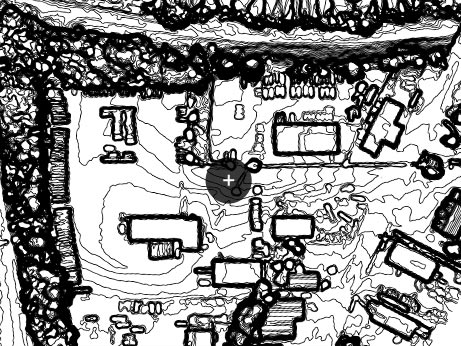
Boundary, topographic, and as-built surveys for residential and commercial properties.
Learn More โ†’
UAV
02
UAV / Drone
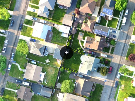
Advanced aerial drone technology delivering high-resolution project data.
Learn More โ†’
Hydrographic
03
Ortho Photography
High-resolution aerial photography for mapping, planning, and visual analysis.
Learn More โ†’
Utility
04
Utility Mapping
Accurate underground utility mapping for safer planning and construction.
Learn More โ†’
Photogrammetry
05
Aerial Photogrammetry
Converting aerial imagery into accurate measurements and 3D models.
Learn More โ†’
Environmental
06
Environmental Surveys
Wetlands delineation, regulatory compliance, and ecological assessments.
Learn More โ†’
Construction
07
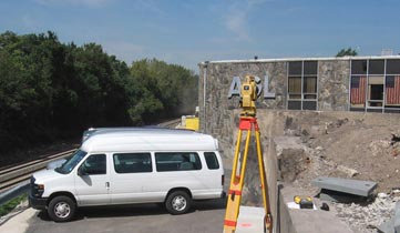
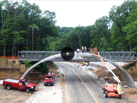
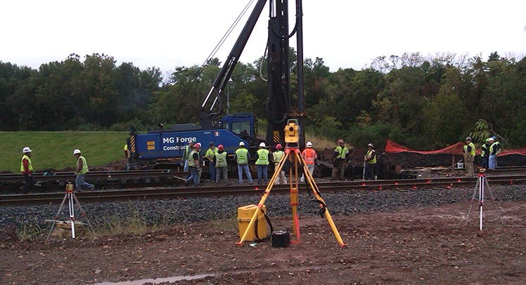
Construction Layout
Precise construction staking ensuring structures are built to specification.
Learn More โ†’
Flood
08
Flood Elevation Certificates
FEMA-compliant certificates for insurance, lenders, and building permits.
Learn More โ†’
NJ
Centrally Located in New Jersey

Serving All of New Jersey
Since 1985

Headquartered in Metuchen, adjacent to Routes 287 and 27. Five major highway access points means we're never far from your project site.

Get Directions โ†’
Our Work

Project Gallery

Construction
Drone
Aerial
Crew
Equipment
What Clients Say
โ˜…โ˜…โ˜…โ˜…โ˜…

"Landmark surveys helped me when building a new house โ€” they did a septic layout, property survey, foundation location and final survey. Landmark and staff were very patient and gave me realistic time frames. The owner spoke to me directly multiple times. Very helpful and professional."

Phil Harding โ€” Verified Client
Trusted by Leading Organizations
NJ DOT
NJ Dept of Transportation
Army Corps
US Army Corps of Engineers
NJTA
NJ Turnpike Authority

Need Expert Surveyors?

One call is all it takes. Free consultation available.

(732) 548-8782 Get a Free Quote